
Services
Cybersecurity
OUR PHILOSOPHY
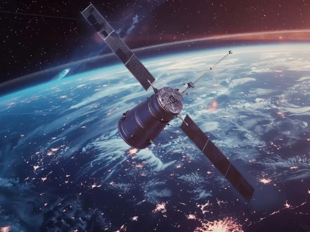
Cybersecurity & Multi-Source Intelligence
SEVEN INFINIA GROUP SDN. BHD. provides an advanced military-grade cybersecurity eco-system, engineered to protect the mission-critical assets of our users. We have an expertise across IMINT, ELINT, OSINT, HUMINT and beyond. Imagery is our core: we build and operate an integrated military GIS, AI-assisted targeting analysis and a near real-time satellite imagery archive, and fuse every other source into the same workflow for the Ministry of Defence and the Malaysian Armed Forces.
Advanced Cybersecurity Ecosystem
Proactive threat intelligence and intelligent defence systems protect classified networks against cyber espionage, advanced persistent threats and state-sponsored activity. A continuous, secure perimeter around strategic defence environments safeguards the resilience, confidentiality and continuity of tactical communications and military operations.
Protection of Critical Information
Military-grade encryption and zero-trust architectures safeguard tactical intelligence, personnel registries and logistics data at rest and in transit. Automated containment instantly isolates network anomalies, while immutable backups guarantee rapid operational recovery and data integrity.
National Security & Digital Sovereignty
Aligned with Malaysia's national defence directives and cyber governance frameworks. Real-time compliance dashboards give defence leadership visibility that military networks, communication nodes and third-party vendor integrations meet strict national security benchmarks.
Our specialities include:
- Civil & Structure Construction
- Mechanical & Electrical
- Cascade & Landscape Services
- Interior Design and Planning
INTELLIGENCE DISCIPLINES
Every Source.
One Operational Picture.
Cyber defence is one layer of a wider intelligence capability. SIG brings imagery, electronic, open-source and human intelligence into a single workspace, so every finding is corroborated before it reaches command. Our mission is to give Malaysias defence analysts and commanders faster, clearer and verifiable intelligence from every source.
IMINT
IMAGERY INTELLIGENCE
Satellite and aerial imagery exploited for targets, terrain and change. Our founding discipline and the engine of our software.
CORE IMINT CAPABILITIES
Three systems. One intelligence picture.
From pixel to decision / one workflow, end to end.
01
Collect
New and archived satellite imagery is ingested and catalogued.
02
Exploit
Imagery is georeferenced and onto the military GIS.
03
Analyse
AI models flag objects and activity for analyst review.
04
Disseminate
Annotated products and target folders reach command.
01
GIS / IMINT
Integrated Military GIS Application & IMINT Analysis Tools
One geospatial workspace where imagery, maps and intelligence layers come together for planning and analysis.
OPERATIONAL VALUE
A common operating picture for analysts, planners and commanders.
02
AI / TARGETING
AI System for Intelligence Targeting & Analytical Tools
Machine-learning models scan large volumes of imagery and surface objects and activity of interest for analyst review.
OPERATIONAL VALUE
Analysts spend their time on judgement, not on searching pixels.
03
SATELLITE / NRT
Near Real-Time Intelligence Satellite Imagery Database & Analysis Tool
A searchable archive of newly acquired and historical satellite imagery, ready for analysis the moment it lands.
OPERATIONAL VALUE
Current and historical coverage of any area of interest, on demand.
WHY WORK WITH US
Built around how defence intelligence actually works.
Our commitment to integrity, safety, quality
and responsible business practices
Designed for military users
Built around how intelligence units collect, analyse and report, not adapted from commercial mapping.
One integrated stack
GIS, AI analysis and the imagery archive work as one system, under one accountable supplier.
Analyst in control
AI proposes; trained analysts validate every finding before it reaches a commander.
Local team, local support
A Malaysian team for deployment, training and long-term sustainment.